BCP REGION STRATEGIES & PLANS
incl. Regional Flood & Coastal Management Initiatives

FCERM Strategy
Christchurch Bay & Harbour FCERM Strategy
In development 2021-2025. BCP Council and New Forest District Council (NFDC) are working together with the Environment Agency to produce a new Strategy to guide how the frontage from Hengistbury Head to Hurst Spit, encompassing Christchurch Harbour, will be sustainably managed for the next 100 years.
Beach Management
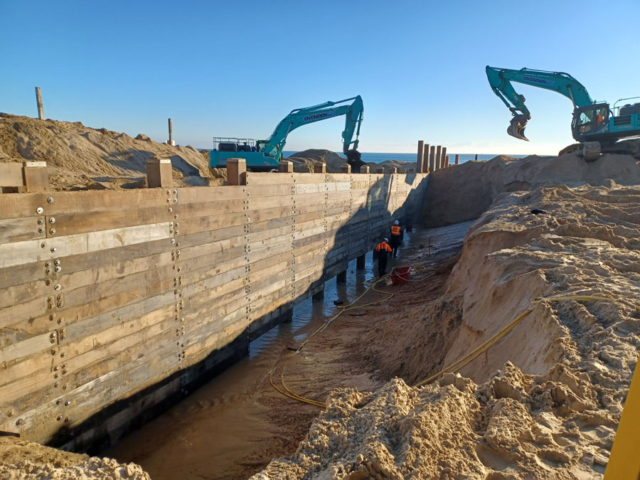
Poole Bay Beach Management Scheme 2015-2032
A 17-year scheme to protect our coastal frontages, making them more climate resilient. Overall the aims are to (1) replace Bournemouth’s existing 53 timber groynes and construct an additional three new timber groynes; (2) repair and upgrade Hengistbury Head Long Groyne; (3) complete three beach renourishments, approximately once every five years. It is estimated the entire scheme will cost in the region of £50 million.

FCERM Strategy
Poole Bay, Poole Harbour and Wareham FCERM Strategy
Final Strategy, December 2014. The strategy identifies how the Environment Agency and its partners will manage tidal flood and erosion risks in and around Bournemouth, the whole of Poole Harbour, Wareham and Swanage over the next 100 years with an emphasis on the years up to 2030.
SMP
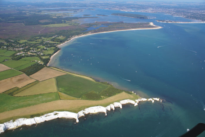
Poole and Christchurch Bays Shoreline Management Plan
Published October 2010. The Shoreline Management Plan promotes management policies for open coast, harbours, estuaries and headlands between Durlston Head in the west and Hurst Spit to the east for the next 100 years, providing a ‘route map’ for decision makers to move from the present situation towards the future.

FCERM Strategy
Bournemouth’s Local Flood Risk Management Strategy
Published September 2015. As a Lead Local Flood Authority Bournemouth Borough Council is required to produce a Local Flood Risk Management Strategy as part of the Flood and Water Management Act 2010. The aim of the strategy is to (a) Improve understanding of the causes of local flooding, (b) Identify where practical solutions can be implemented, (c) Use available data to reduce flood risk through sustainable development, and (d) Assist the wider community in improving flood resilience.

FCERM Strategy
Poole’s Local Flood Risk Management Strategy 2017-2019
Published July 2017. The Flood and Water Management Act (2010) acknowledged that despite everyone’s best efforts to prevent the risk of flooding, it is a natural event that will sometimes occur. This Local Flood Risk Management Strategy outlines how the flood risk from surface water and in-combination flooding (from both surface water and high tides) is being managed in the Borough of Poole.
Please note: BCP Council is currently preparing a new Flood Risk Management Strategy for the entire BCP Council area.
REGIONAL STUDIES, MONITORING & RESEARCH
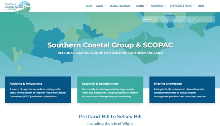
Southern Coastal Group and SCOPAC
The Southern Coastal Group and SCOPAC (the Standing Conference on Problems Associated with the Coastline) merged in 2020. Together they form an influential network of local authorities and key organisations with an interest in the shoreline of central southern England, from Portland Bill to Selsey Bill, including the Isle of Wight
Wessex Regional Flood and Coastal Committee (RFCC)
The Regional Flood and Coastal Committee (RFCC) is established by the Environment Agency under the Flood and Water Management Act 2010; it brings together members appointed by Lead Local Flood Authorities (LLFAs) and independent members with relevant experience.

National Network of Regional Coastal Monitoring Programmes (NNRCMP) of England
The NNRCMP consists of six Regional Coastal Monitoring Programmes. The Poole and Christchurch Bays area lies within the Southeast RCMP. The Programmes collect and distribute the necessary data to underpin evidence-based decisions regarding strategic and local level Flood and Coastal Erosion Risk Management (FCERM).