
The Poole Bay Partnership
Poolebay.net was first published in response to the high level of public interest
in the major beach replenishment projects of 2005-
Copyright © 2005 -


Other sources of local coastal information


These pages contain only archived material
Winter Trials of Sand Recycling on Poole's Beaches
During November 2013 a one-off coast protection trial was prepared at Poole to assess
the volume of wind blown sand and the possibility of recycling sand on Poole's beaches.
Unfortunately the severe storms of December 2013 and January 2014 effectively put paid to the trial, removing significant quantities of sand from the system and bringing beach levels down to that of the metre deep trial hole dug out east of Flaghead Chine beach. The beach will be monitored and another trial may be arranged for a future date.
The Trial
A metre deep hole was dug in the sand east of Flaghead Chine beach, and it was anticipated
that the naturally occurring build-
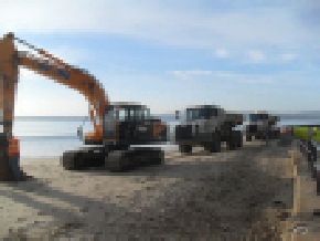
The movement of sand, using dumper trucks, took place w/c 4th November.
Why is this work needed?
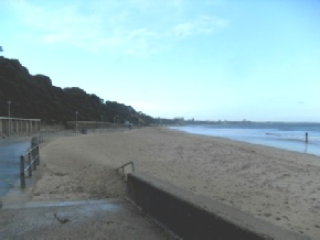
In Poole sand moves from west to east along the seafront. The aerial photo below shows, in red, where erosion is taking place between Shore Road and Flaghead Chine beach. If it is not addressed the erosion at Shore Road will continue to narrow the beach and erosion will eventually creep eastwards along the seafront.
What will the trial tell us?
This is a 'learn-
A final survey will assess:
- how much sand has migrated back to Flaghead Chine
- how much has been retained by Shore Road beach
- whether it is economically viable to use nature to help provide a long-
term and sustainable approach to managing our wide, sandy beaches.
The results of the trial will inform the Beach Management Plan (to be completed by 2016) which will set out how the Council will manage the beach for coast protection purposes.

Erosion (shown in red) between Shore Road & Flaghead Chine beach; if not addressed erosion will continue to narrow the beach at Shore Road

The area of Flaghead Chine where wind-
Note: in the image above, the darker the red the greater the erosion. Blue represents areas of accretion (the accumulation of sand) recorded between 2007 and the present day; the darker the blue the greater the levels of accretion.
The Works


